GPS+GLONASS |

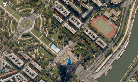
BIRDSEYE SATELLITE IMAGERY |

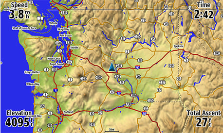
ADVANCED MAPPING |
ACTIVE WEATHER |

SMART NOTIFICATIONS |
Price: ₹76,427/-, ₹53,499/- (30% OFF)
Feature
All-terrain GPS Navigator
- Internal antenna with GPS and GLONASS satellite reception for tracking in more challenging environments than GPS alone; for better reception in vehicle interiors add an external antenna (sold separately) to the built-in MCX connector
- Built-in worldwide basemap and free 1-year BirdsEye Satellite Imagery subscription
- Supports Garmin TOPO maps, Garmin HuntView™ maps, BlueChart® g2 HD marine charts and more
- Supports Active Weather forecasts and animated weather tracking
- Pairs with your compatible smartphone¹ for automatic uploads, smart notifications and more
The Mapping You Want
The Connected Navigator
Tough and Ready
More Power Options
Specifications
General
| Physical dimensions | 7.5" x 3.7" x 1.7" (191.5 x 94.5 x 44.0 cm) |
| Weight | 15.9 oz (450 g) with included rechargeable pack; 14.6 oz (415 g) with AA batteries (not included) |
| Water rating | IPX7 |
| Battery type | rechargeable lithium-ion (included) or 3 AA batteries (not included); NiMH or Lithium recommended |
| Display type | bright, sunlight readable WVGA display |
| Display size | 5.0" (127.0 mm) diagonal |
| Display resolution | 800 x 480 pixels |
| Battery life | up to 16 hours (lithium-ion); up to 8 hours (AA batteries) |
| Memory/history | 8 GB (6 GB available to use) |
| High-sensitivity receiver | YES |
| Interface | high-speed USB and NMEA 0183 compatible |
Maps & Memory
| Basemap | YES |
| Ability to add maps | YES |
| Accepts data cards | microSD™ card (not included) |
| Custom POIs (ability to add additional points of interest) | YES |
| Waypoints/favorites/locations | 10,000 |
| Routes | 250 |
| Track log | 20,000 points, 250 saved tracks |
Sensors
| Barometric altimeter | YES |
| Compass | Yes (tilt-compensated 3-axis) |
Outdoor Recreation Features
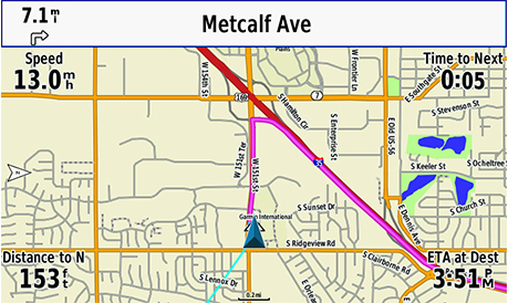
| Automatic routing (turn by turn routing on roads) | Yes (with optional mapping for detailed roads) |
| Custom maps compatible | YES |
| Hunt/fish calendar | YES |
| Sun and moon information | YES |
| Camera | no |
Garmin Connect™
| Garmin Connect™ compatible (online community where you analyze, categorize and share data) | YES |
Additional
| Additional |
|
Contents in the box
GPSMAP 276Cx , 5.90 Software Update
Steps to update the software:
- Download and install Garmin Express to your computer.
- Connect your device to your computer.
- Launch Garmin Express and select "Add a Device", and follow the onscreen instructions.
- Garmin Express will list items that need to be updated, simply click "Install/Install All" and follow the onscreen instructions.
- Wait until the program displays that all files are up to date.
Note:
- The installer may overwrite data within the device. Please backup any important files beforehand.
System Requirements:
Windows
- Windows Vista SP2 or later, Microsoft .NET 4.5 (included)
- 1024x768 resolution, USB port and 1 GB RAM
- High speed internet (do not use in conjunction with dial-up, mobile, or satellite connection)
- Up to 13 GB of storage
Mac
- OSX 10.8 or later
- 1440x900 resolution, USB port and 1 GB RAM
- High speed internet (do not use in conjunction with dial-up, mobile, or satellite connection)
- Up to 13 GB of storage
Latest Version2021-12-03。
Version : 5.90 New!
- Fixed issue drawing color indicators in the track list
- Fixed map heading responsiveness at low speeds





0 Reviews:
Post a Comment